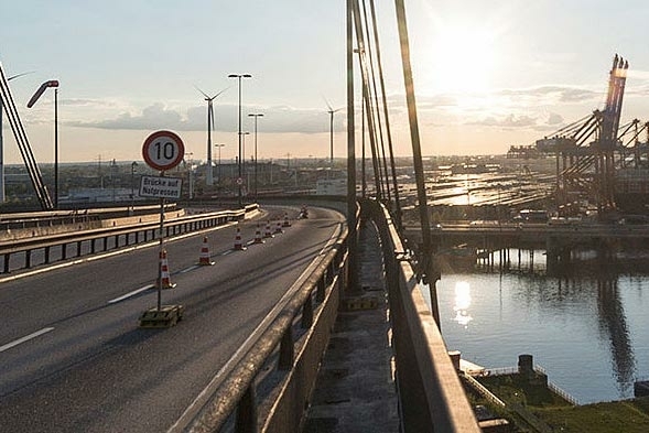
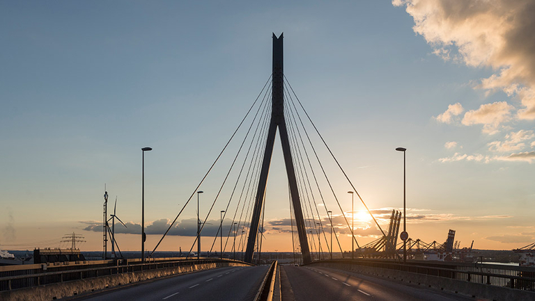
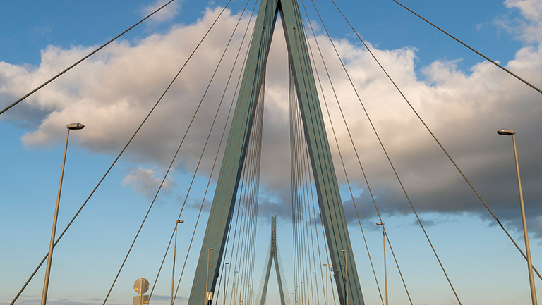
We are responsible for the maintenance and development of a network encompassing about 130km of roads and 81 road bridges at the port of Hamburg. 33,000 vehicles use the main port road every day, a good third of which are lorries. Stop traffic for road works? That is out of the question for us. Here, planning is just as important as implementation during off-peak periods. At the port, every traffic jam costs money – and gets on every other road user’s nerves.
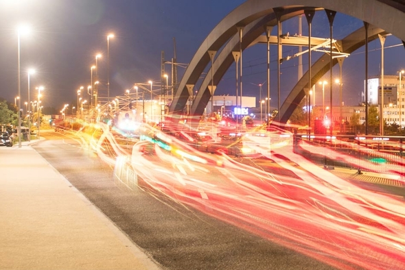
Our IT-based traffic management allows us to optimise the use of the existing transport infrastructure. Such as the DIVA system, which provides dynamic information on traffic volumes in the area. We use LED panels to provide information on traffic jams and closures. All the information is summarised in the Port Road Management Centre.
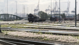
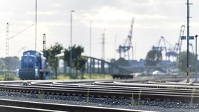
To improve the management of traffic, we rely on our EVE system (a German acronym for ‘effective depiction of the traffic situation’). This system uses bluetooth, video detection and inductive loops in the roads to monitor every movement in the port area with centimetre-level accuracy.
EVE shortens the amount of time lorries spend idling, thus reducing pollution. This also increases the handling volume. EVE analyses about 40,000 lorry trips at the port every day. It uses the data to create timely forecasts on the development of traffic at the port in the next minutes and hours. DIVA (a German acronym for ‘dynamic information on traffic volumes’) at the port of Hamburg shows the many lorries the best way to an open parking space, among other things. Driving around is so yesterday. Now the DIVA panels show where there are spaces for large and small lorries.
33,000 vehicles use the main port road every day, a good third of which are lorries. This inevitably leads to congestion. Optimised traffic control and management contributes to the improved use of the existing transport infrastructure as well as the construction and development of the road network. The IT-based traffic management at the port includes the following fields of action:
Port Road Management is the innovative traffic management system to optimise road traffic at the port of Hamburg. To improve the flow of traffic, potential incidents in the road network are recorded, automated messages are generated, and the road users are informed via LED panels so the congestion can be avoided.
Here you can find all downloads from the field road traffic pre-filtered for you.
| Standard Form for Collection and Delivery | -Form- | Standard Form for Collection and Delivery | ||
| Depot Regulations for quick HGV Clearing | -Instructions- | Depot Regulations for quick HGV Clearing | ||
| Port cycle event route (Hafenerlebnisroute) - Flyer | -General Information- | Port cycle event route (Hafenerlebnisroute) - Flyer | ||
| Port of Hamburg-GTC Pricelist Maritime Shipping-as of 01.01.2020_issued 07.10.2019 | -GTC Marine Infrastructure- -General Information- -GTC- -Instructions- | Port of Hamburg-GTC Pricelist Maritime Shipping-as of 01.01.2020_issued 07.10.2019 |
All contacts from the field road traffic listed and pre-filtered for you.
| Pangritz, Sinje [Translate to English:] Head of Public Affairs / Press Officer | -1- | [Translate to English:] Ihr Ansprechpartner: |
Pangritz, Sinje
[Translate to English:] Head of Public Affairs / Press Officer
Neuer Wandrahm 4
20457
Hamburg
+49 40 42847-2301
|
| Bonk, Jana [Translate to English:] Leiter Vertrieb | -4- | [Translate to English:] Ihr Ansprechpartner: |
Bonk, Jana
[Translate to English:] Leiter Vertrieb
Hafenbahn
Veddeler Damm 14 a/b
20457
Hamburg
+49 40 42847-1896
|
| Dlugosch, Jan [Translate to English:] Nautische Projekte, Schifffahrtspolizeiliche Genehmigungen für Großschiffe, Seeschiffsassistenz, Hafenpatent | -6- | [Translate to English:] Ihr Ansprechpartner: |
Dlugosch, Jan
[Translate to English:] Nautische Projekte, Schifffahrtspolizeiliche Genehmigungen für Großschiffe, Seeschiffsassistenz, Hafenpatent
Oberhafenamt
Neuer Wandrahm 4
20457
Hamburg
+49 40 42 84 7-2575

|
| Hain, Marit | -42- | Contact person: For general questions on maritime affairs in inland waterway and port navigation. |
Hain, Marit
Maritime Affairs
Neuer Wandrahm 4
20457
Hamburg
+49 40 42847-3181
|
| Pillkahn, Jens [Translate to English:] Leiter Servicecenter Railway Infrastructure | -4- | [Translate to English:] Ihr Ansprechpartner: |
Pillkahn, Jens
[Translate to English:] Leiter Servicecenter Railway Infrastructure
Hafenbahn
Veddeler Damm 14 a/b
20457
Hamburg
+49 40 42847-5570
|

Commercial trade does not currently depend on a highly developed road infrastructure, but increasingly on its optimisation via electronic guidance systems and the IT-based handling of transport-related information. The port of Hamburg also contributes to the reduction of idle and waiting times via relevant offers.
Learn more about the possibilities:
The Bill of Lading governs the legal relationship between the shipper (original sender or sea-port forwarder), the agent/carrier, and the recipient of the goods. It is currently possible to issue and transmit a Bill of Lading electronically on the basis of bilateral agreements or local standards, such as via the Bill of Lading system.
As for the transport, storage and handling of dangerous goods, the GEGIS system (German acronym for ‘dangerous goods information system’) facilitates the required reporting of the transport of dangerous goods electronically via a web application. The ports of Hamburg, Bremen and Bremerhaven are connected.
Shippers and consignors of dangerous goods must provide their transporters with information sheets in the driver’s native language and in the languages spoken in the transit countries. The incident information sheets are available on GEGIS in 30 languages.

![[Translate to English:] Fotolia](/fileadmin/_processed_/0/1/csm_CTN_Verkehrstelematic_8ad47927f4.jpg "[Translate to English:] Verkehrstelematic die läuft")
![[Translate to English:] ASW](/fileadmin/_processed_/7/9/csm_T3_BrueckeSchleuse_1d97c3f6d8.jpg "[Translate to English:] Brücken und Schleusen der HPA")